


Credits
The pictures in this demonstration, and who they are owed to.
The photographs of towns and places come from Wikimedia Commons under free licences. CC BY and CC BY-SA ask for the author to be credited where the image is shown: this page does so, and every photograph repeats it underneath.
Freely licensed photographs
Fetched from Wikimedia Commons on 3 October 2026, hosted on this site, resized and converted to WebP. Nothing else was changed.
| Image | What it shows | Author | Licence | Source |
|---|---|---|---|---|
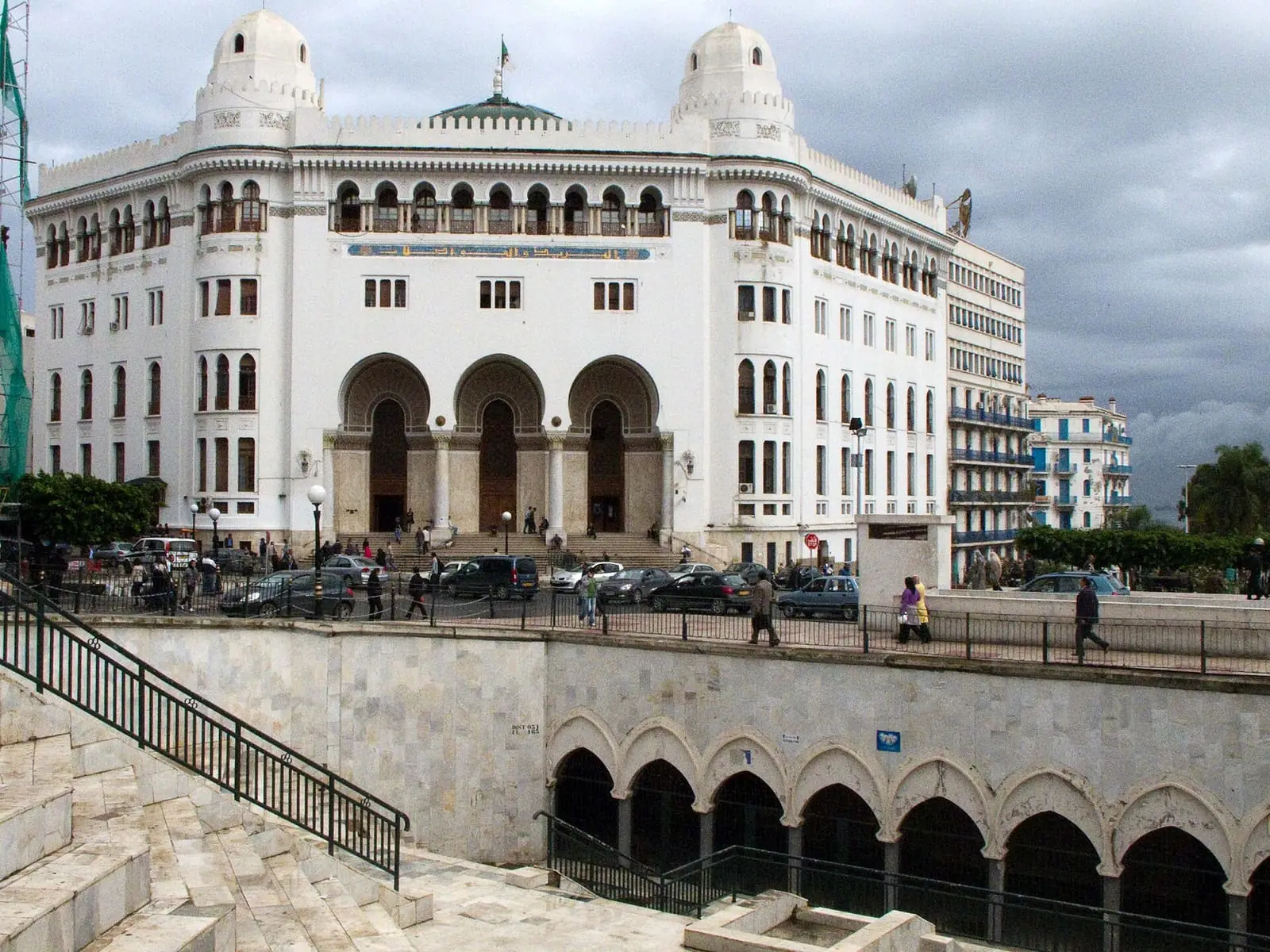 | Algiers — the Grande Postecities/alger.webp | Poudou99 | CC BY 3.0 | View on Commons |
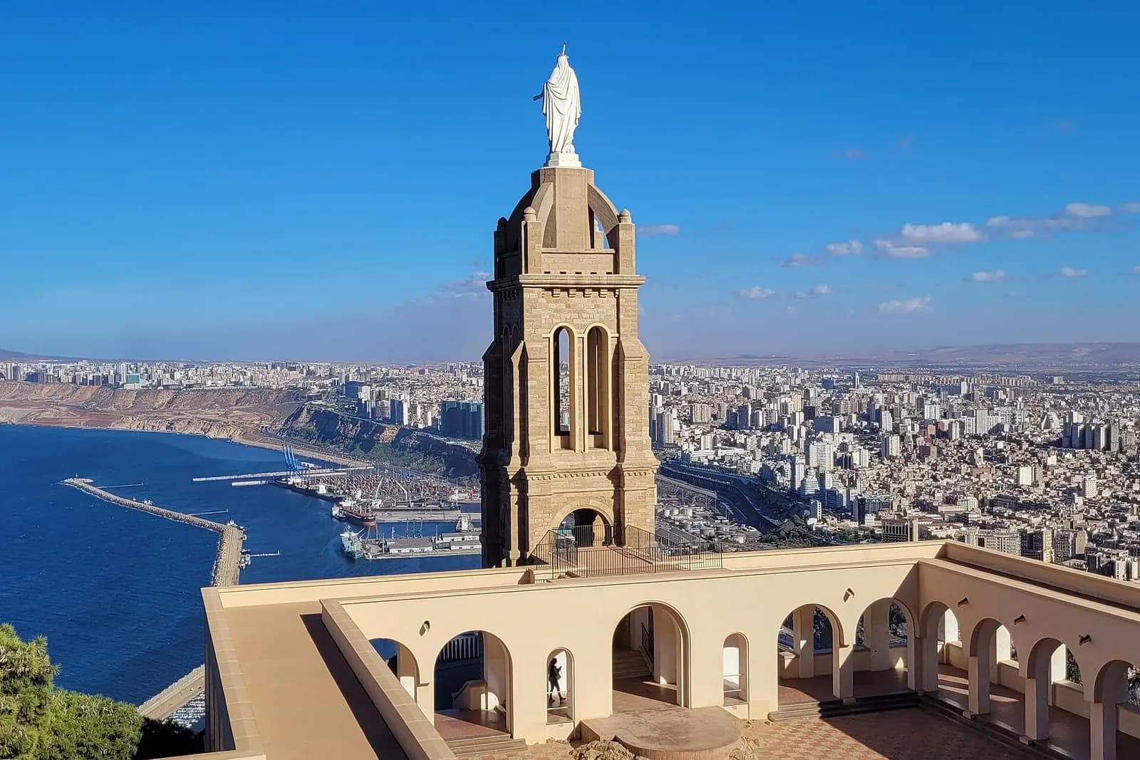 | Oran seen from Santa Cruzcities/oran.webp | Bernard Gagnon | CC BY 4.0 | View on Commons |
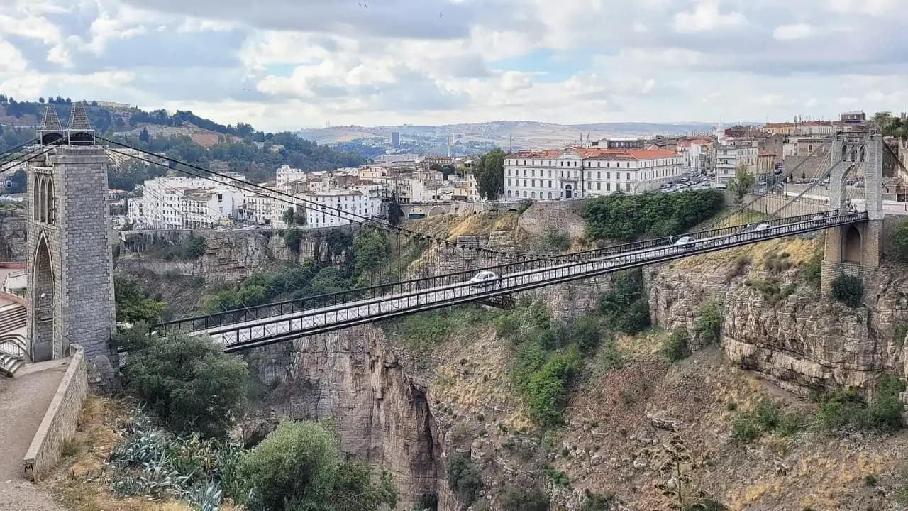 | Constantine, the suspension bridgecities/constantine.webp | Bernard Gagnon | CC BY 4.0 | View on Commons |
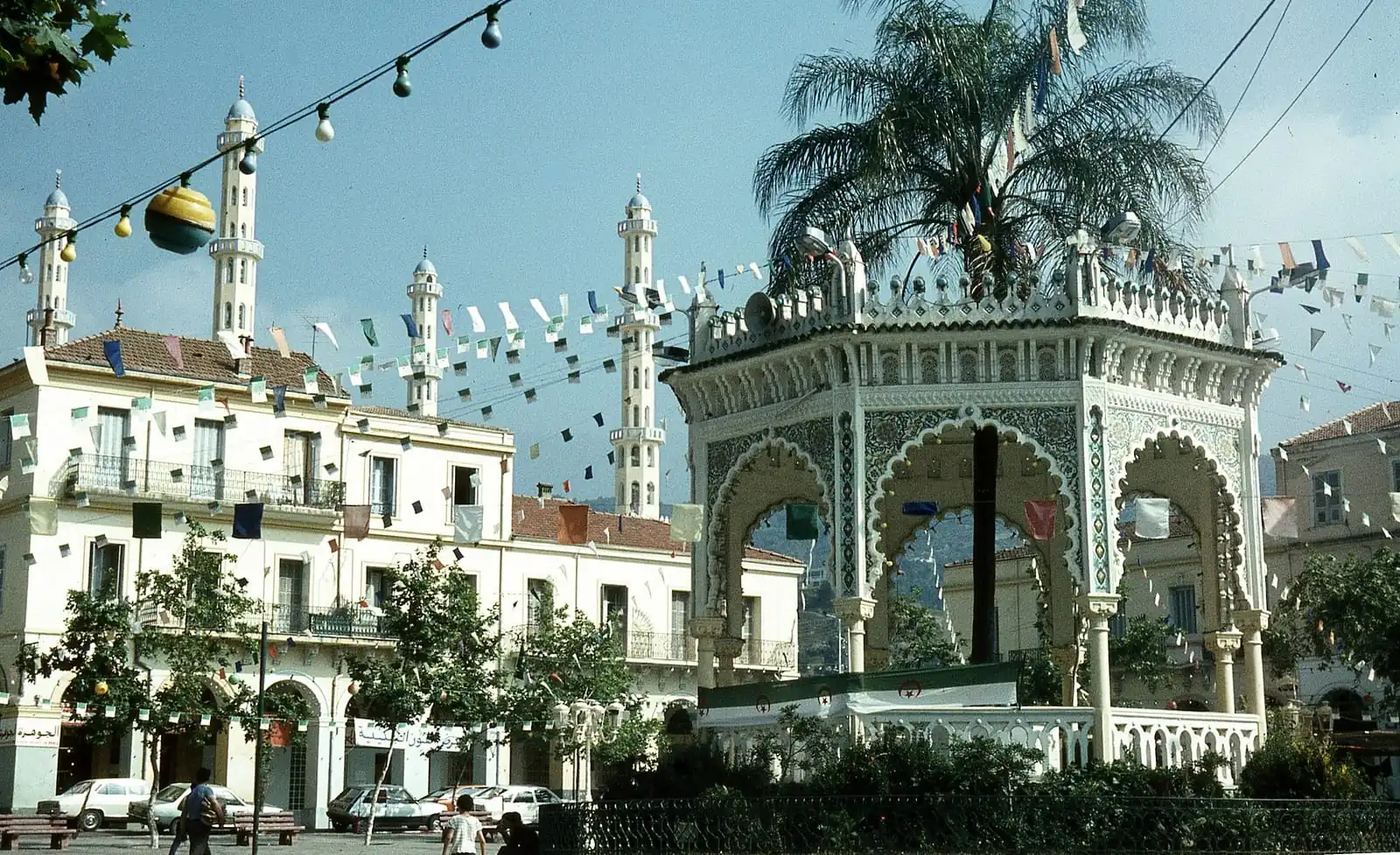 | Blida, the central squarecities/blida.webp | filtran from Edinburgh, Scotland (UK) | CC BY 2.0 | View on Commons |
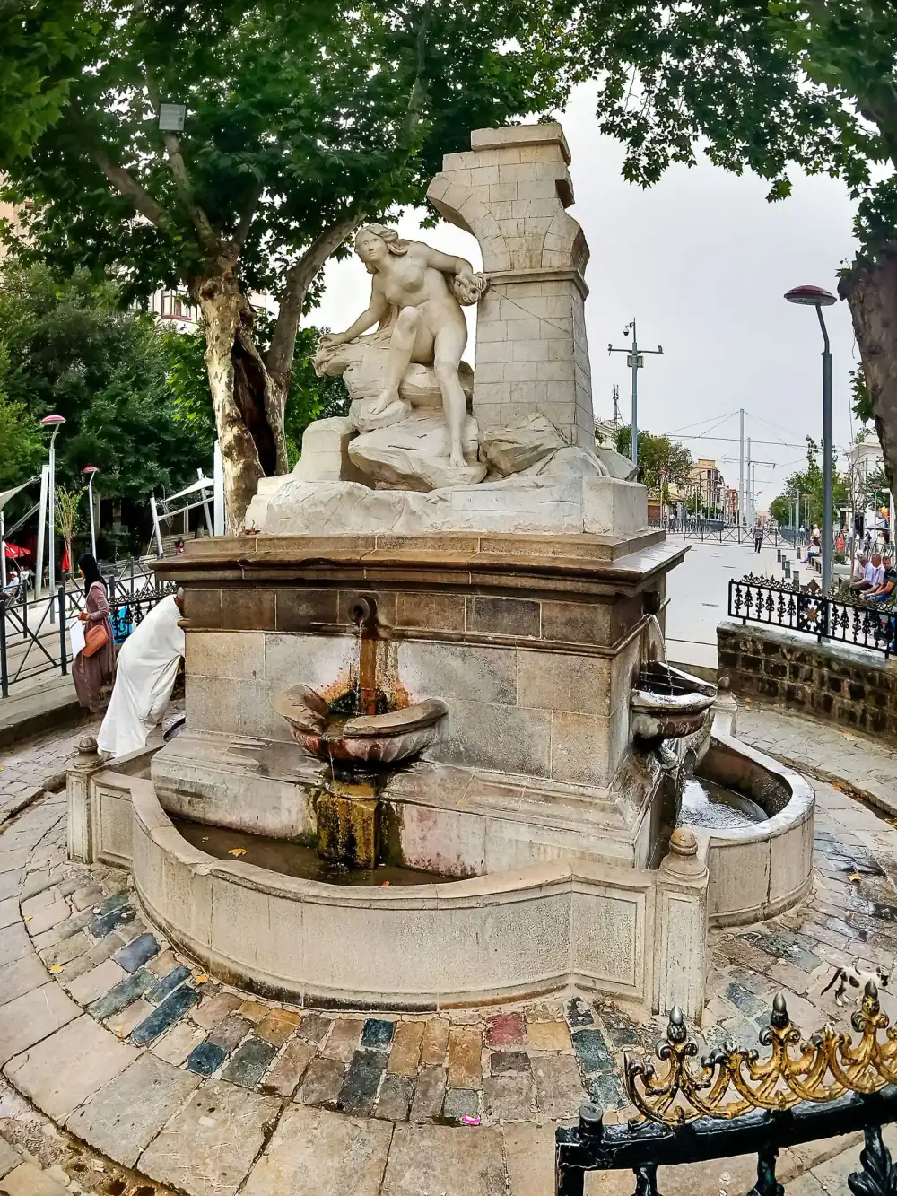 | Sétif, Aïn El Fouaracities/setif.webp | habib kaki 2 from Zeralda | Public domain | View on Commons |
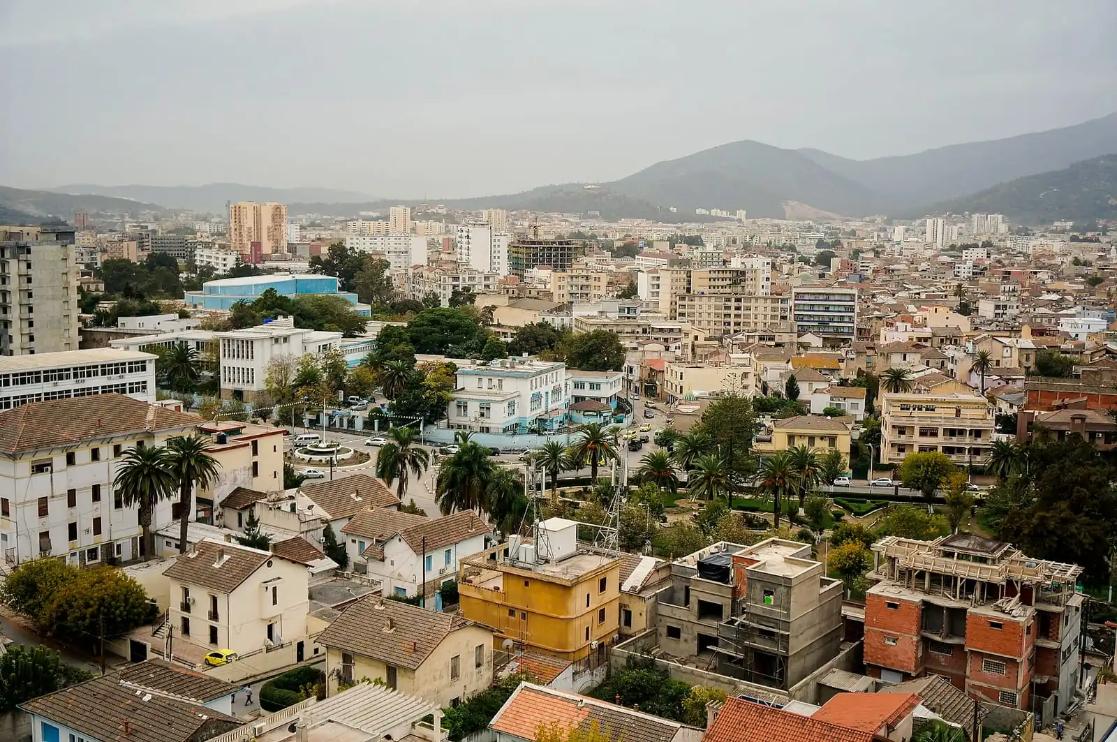 | Annaba, a view over the citycities/annaba.webp | Dan Sloan | CC BY-SA 2.0 | View on Commons |
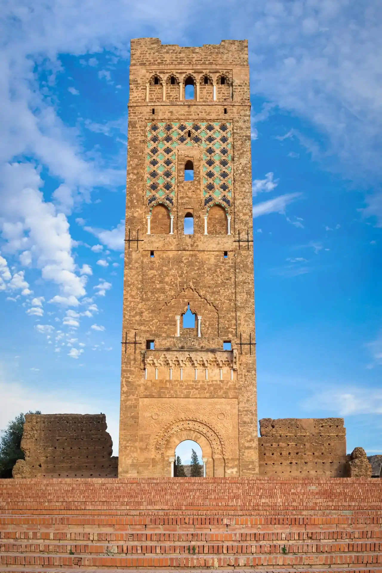 | Tlemcen, the Mansourah minaretcities/tlemcen.webp | Riad Salih | CC BY 4.0 | View on Commons |
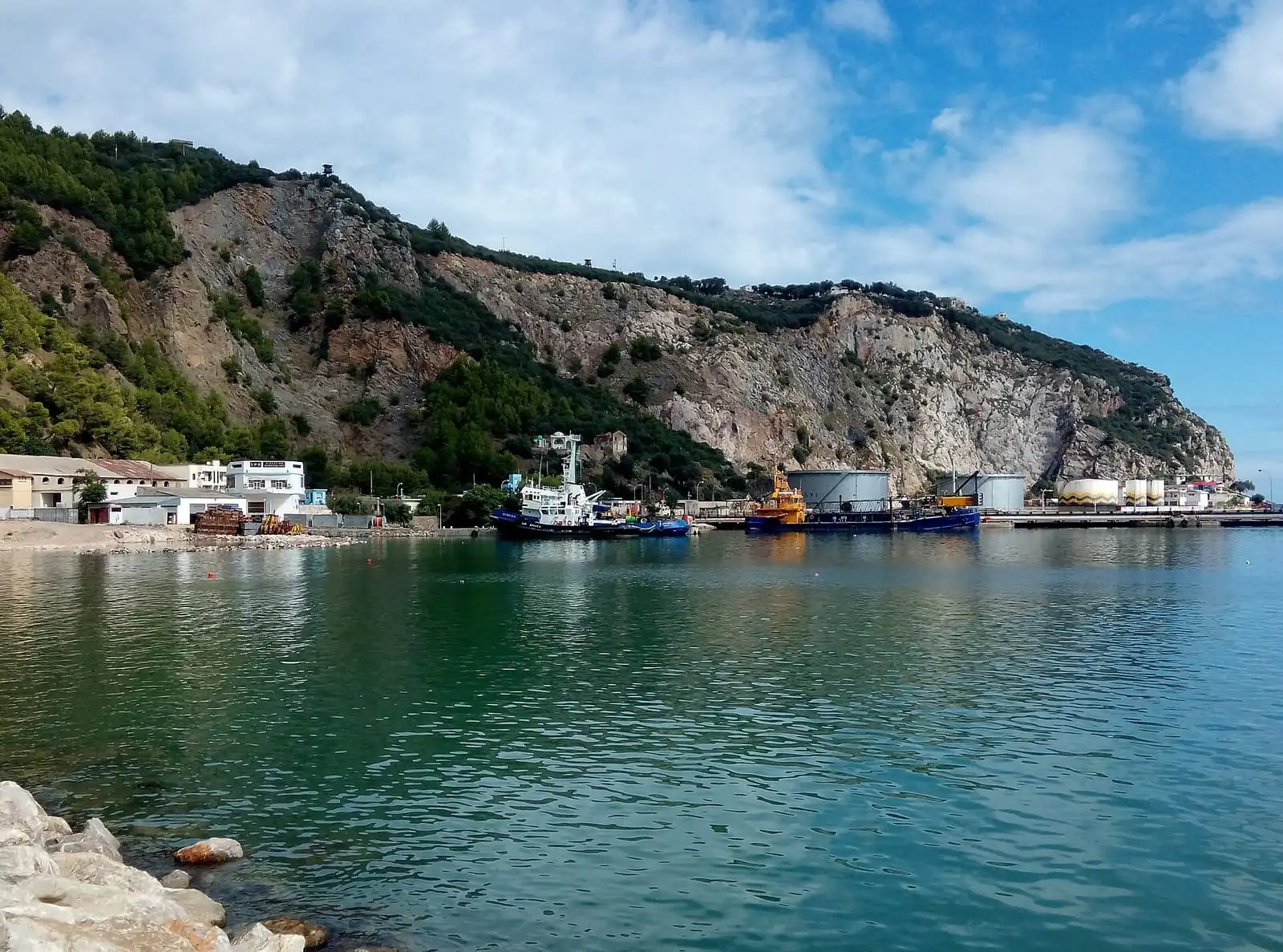 | Béjaïa, the harbourcities/bejaia.webp | Dalil123 | CC BY-SA 4.0 | View on Commons |
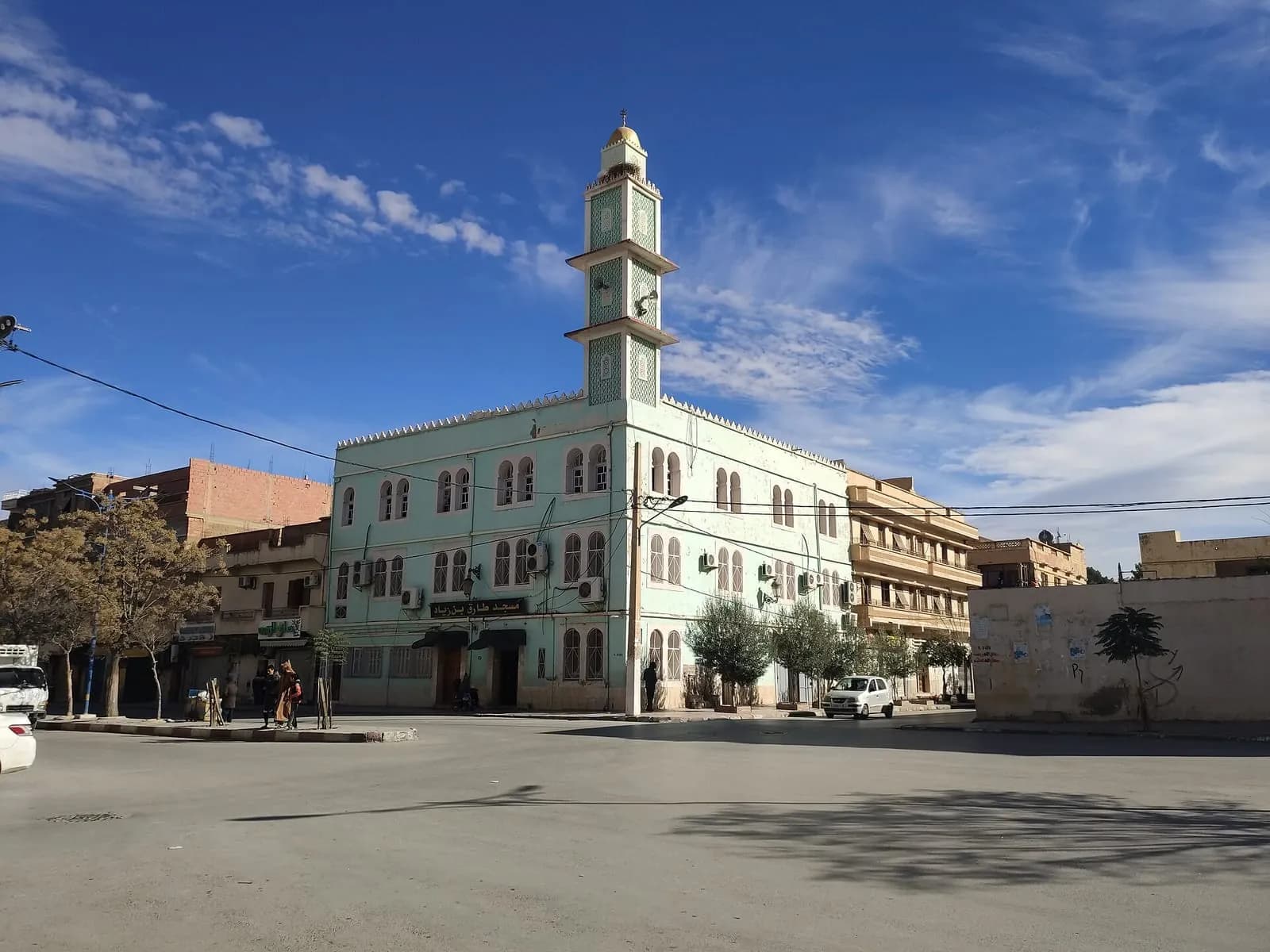 | Batna, the town centrecities/batna.webp | Rachid Hamatou | CC BY-SA 4.0 | View on Commons |
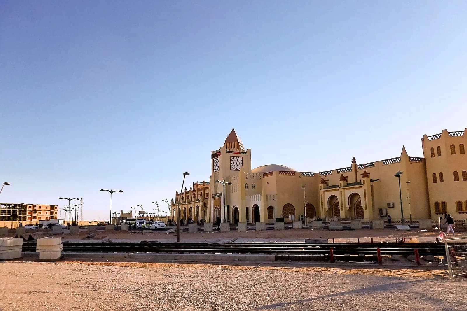 | Ouargla, the stationcities/ouargla.webp | Habib kaki | CC BY-SA 4.0 | View on Commons |
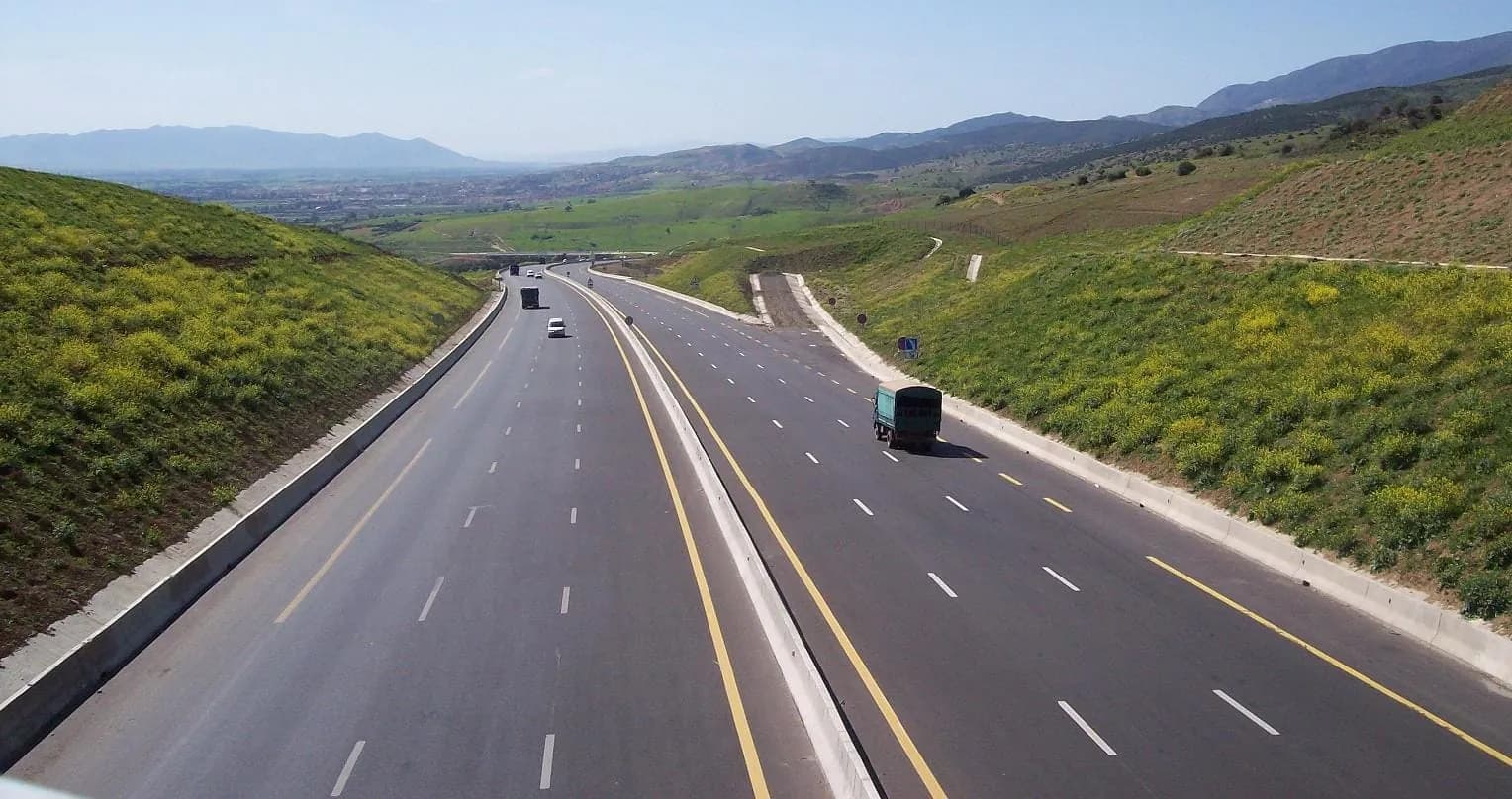 | The East–West motorwayarticles/route.webp | Sandervalya | CC BY-SA 3.0 | View on Commons |
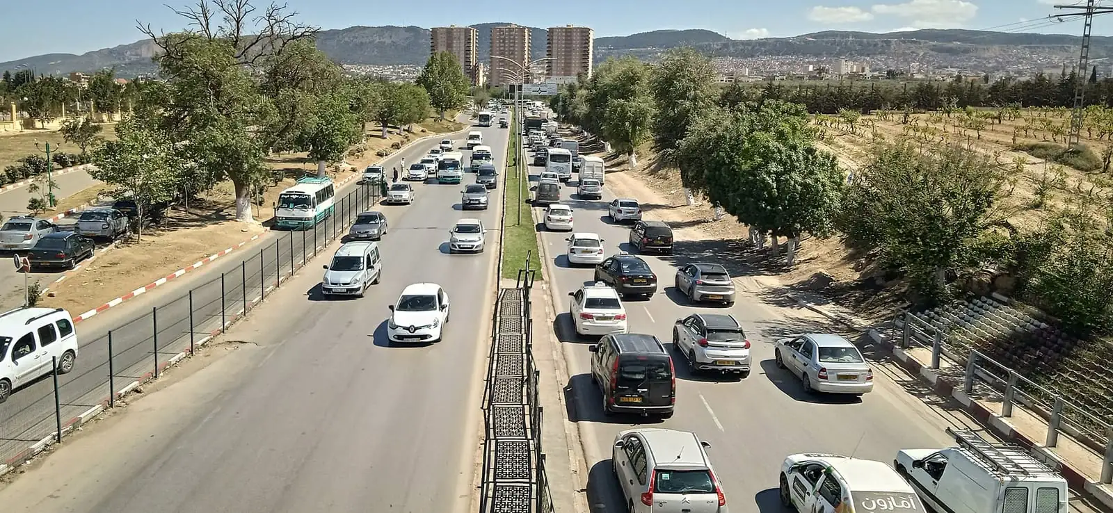 | Traffic in Tlemcenarticles/circulation.webp | Riad Salih | CC BY 4.0 | View on Commons |
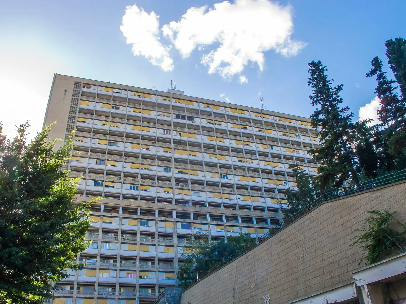 | An apartment building in Algiersarticles/logement.webp | poudou99 | CC BY-SA 4.0 | View on Commons |
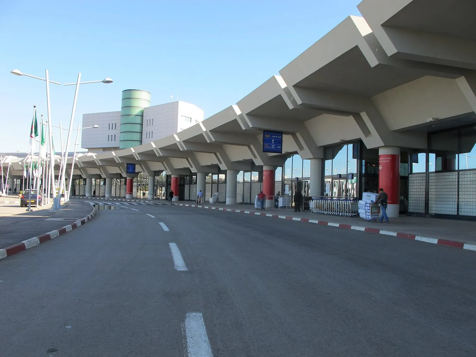 | Algiers airport, the terminalarticles/voyage.webp | Poudou99 | CC BY 3.0 | View on Commons |
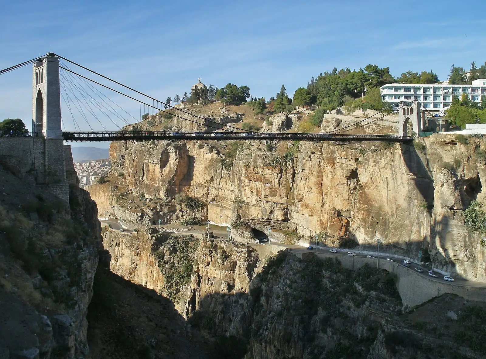 | The Rhumel gorges, Constantinearticles/catnat.webp | Yelles | CC BY-SA 4.0 | View on Commons |
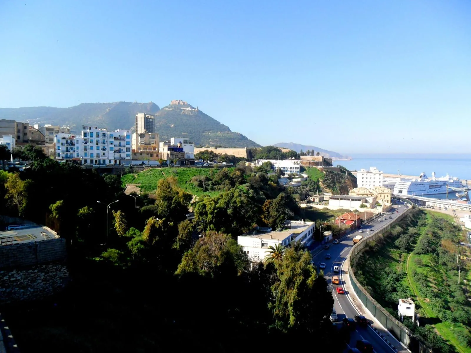 | Oran, its districts and the mountainarticles/takaful.webp | habib kaki | CC BY 3.0 | View on Commons |

Generated images and films
The branch and office scenes, the clay objects and the short films were generated for the demonstration. They are fictional: no real person, brand or company appears, and the people shown have no names.

Drawn here
The Hima logo and takaful mark, the icons, the specimen documents, the risk map and the globe are drawn in code in this repository.
Map data
The wilaya outlines are © OpenStreetMap contributors, under the Open Database Licence (ODbL).
The risk levels drawn on those outlines are illustrative: they are neither official seismic data nor official flood data.
OpenStreetMap copyright and licence